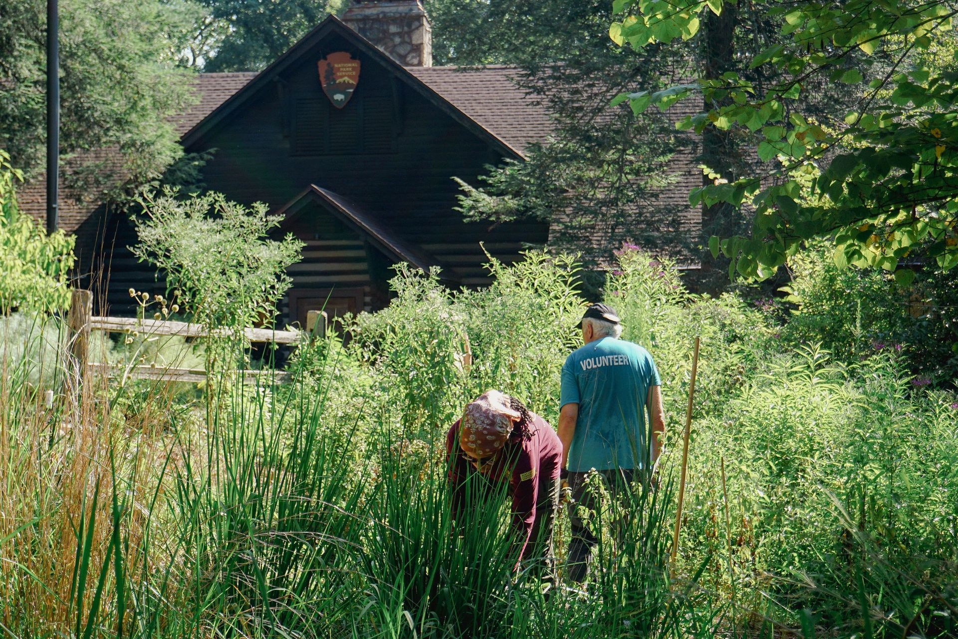
Explore the Park
Park Units
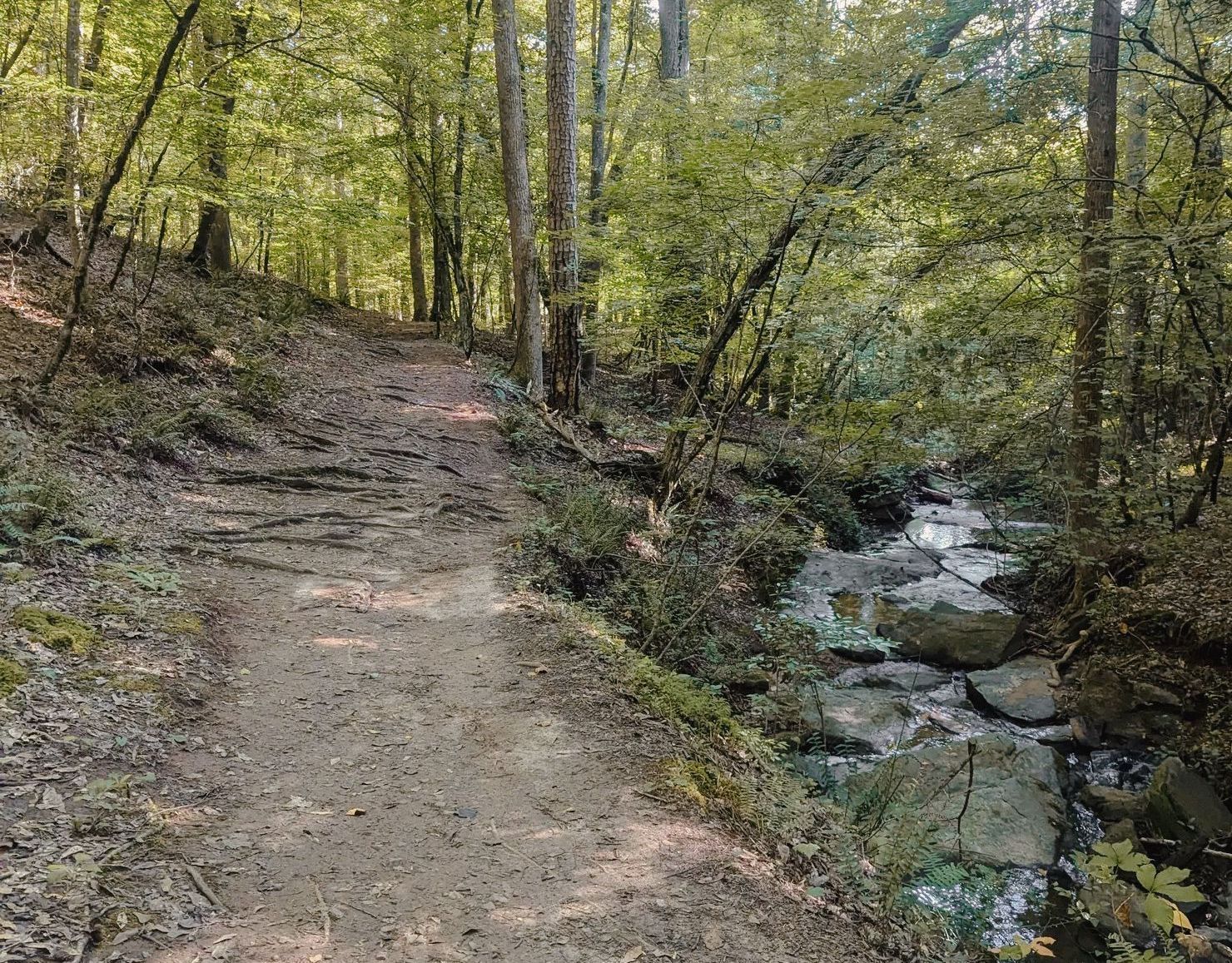
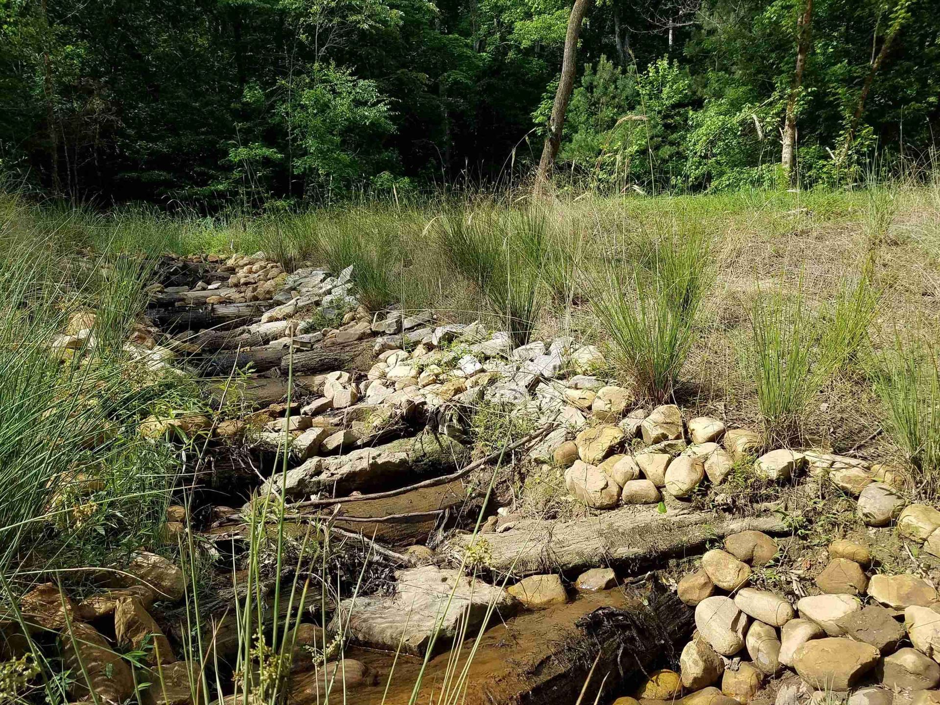
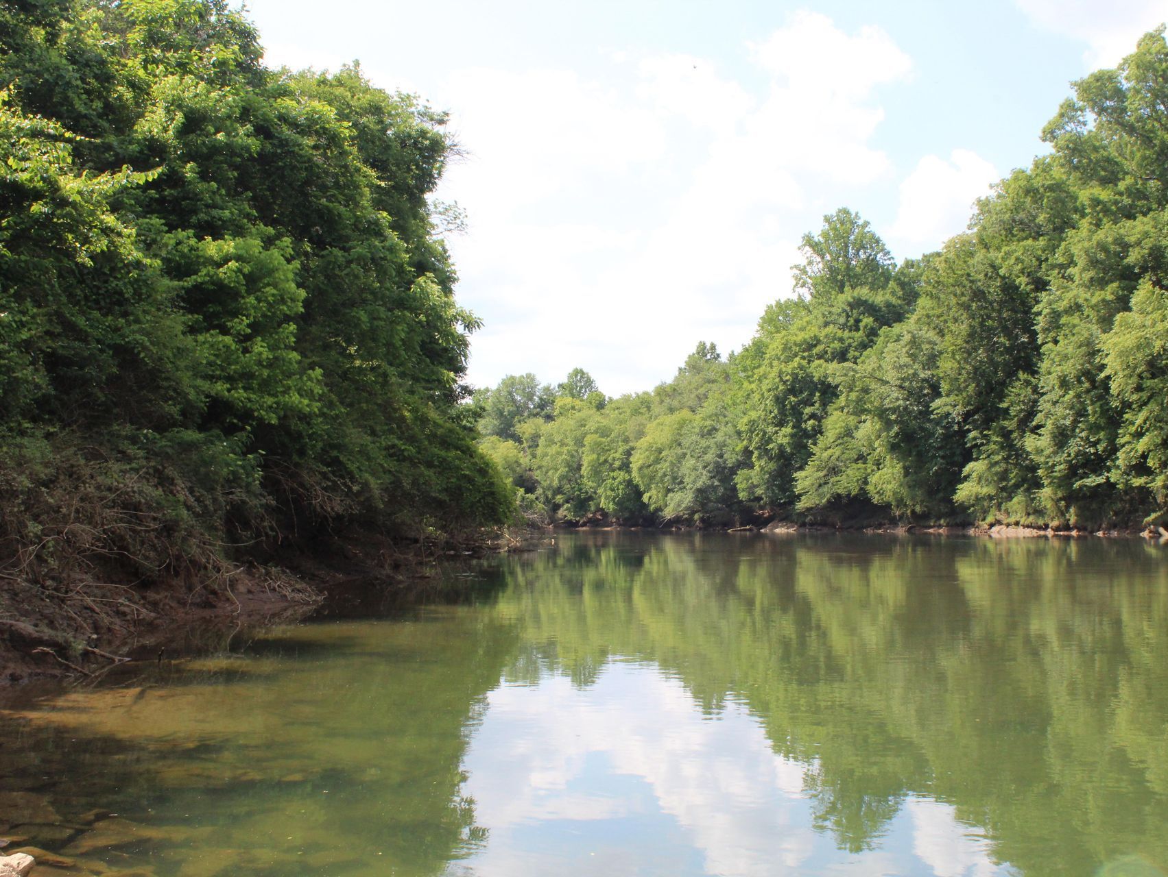
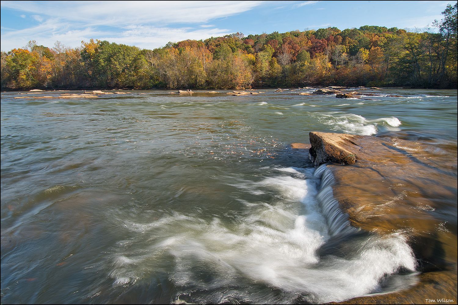
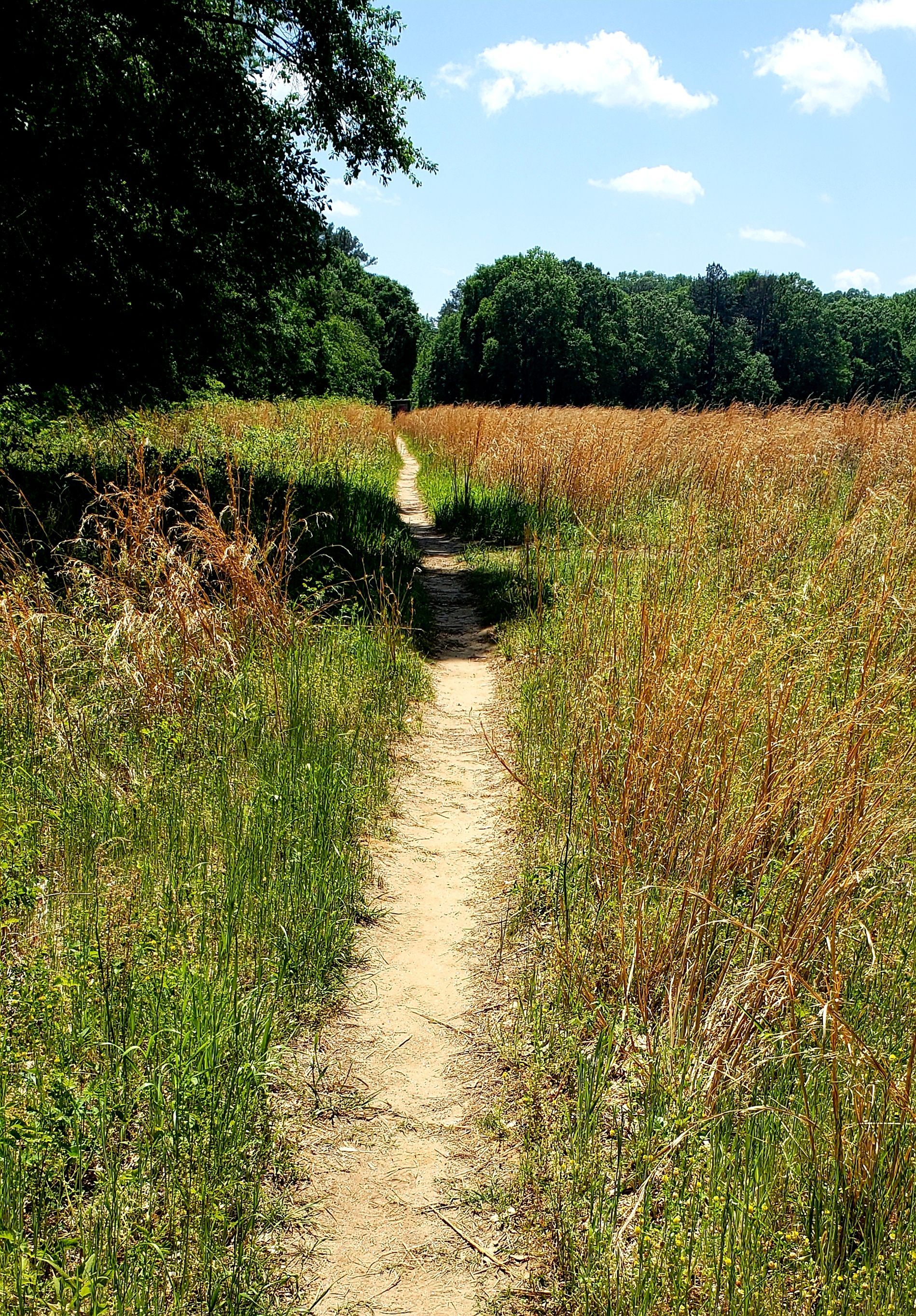
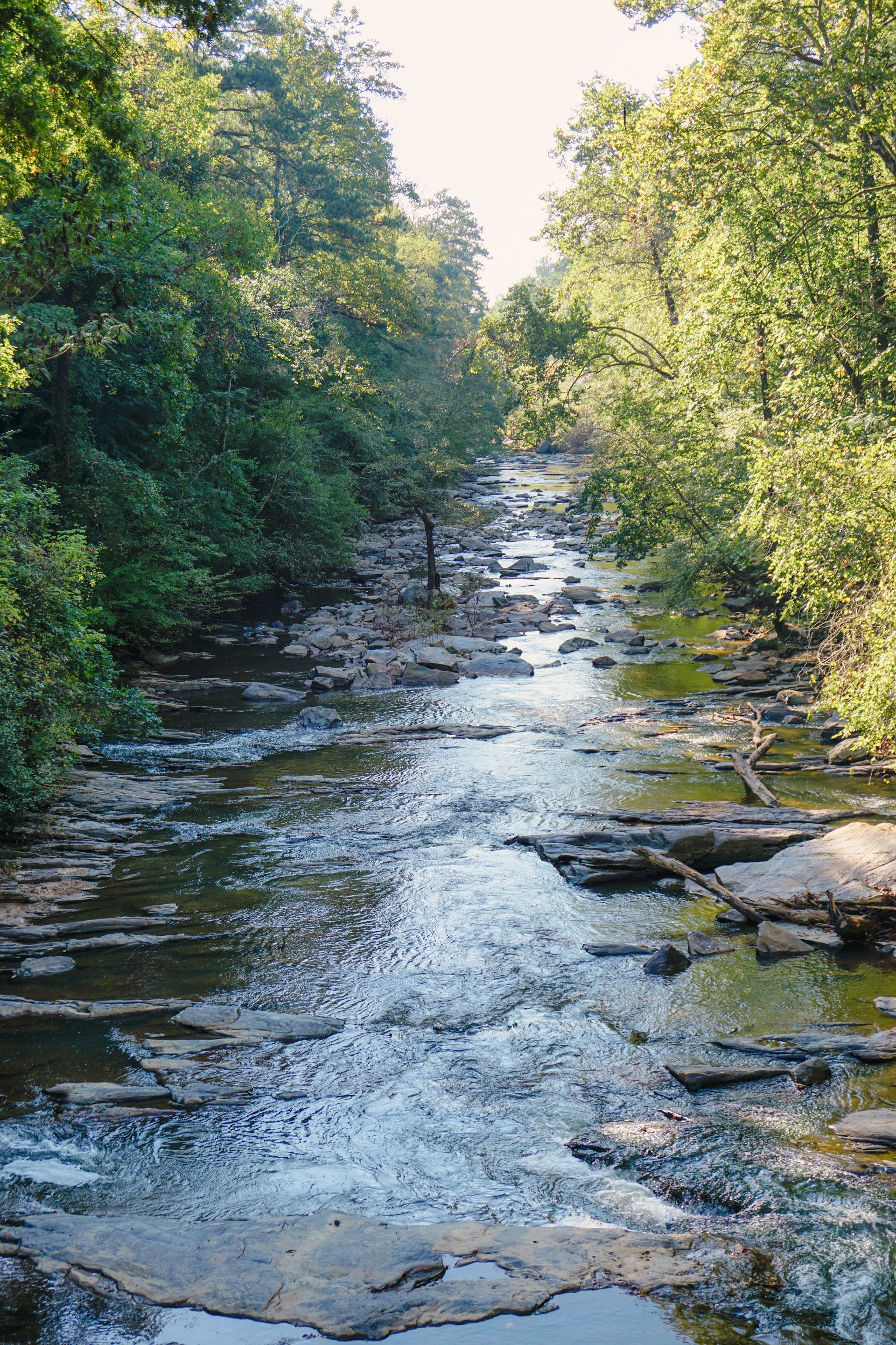
Chattahoochee River National Recreation Area is home to 66 miles of trails, 48 miles of the Chattahoochee River, and over 7,000 acres of land and river across 15 land units.
Bowmans Island
Located in Duluth, visitors can enjoy river access for boating and fishing, with additional picnic areas for relaxation. Trail mileage varies, making it a flexible option for short or extended visits.
✔ Parking
✔ Restrooms
✔ Boat ramp (boat + canoe)
✔ Picnic area
✔ Hiking trails (5.5 miles)
Orrs Ferry
The Orrs Ferry Unit, a lesser-known area near Sugar Hill, is a natural space with no official trail system or public access at this time.
✘ No parking
✘ No restrooms
✘ No boat ramp
✘ No picnic area
✘ No hiking trails
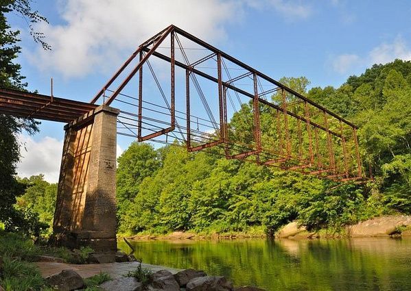
sETTLES bRIDGE
Situated in Suwanee, this unit features a scenic trail that leads to the historic remnants of Settles Bridge, the oldest still-standing bridge over the Chattahoochee River in CRNRA.
✔ Parking
✘ No restrooms
✔ Boat ramp (canoe only)
✘ No picnic area
✔ Hiking trails (2.3 miles)
mCgINNIS fERRY
The McGinnis Ferry Unit in Johns Creek is ideal for paddlers with its boat ramp and river access. While there are no formal trails, visitors enjoy this spot for fishing and nature observation.
✔ Parking
✘ No Restrooms
✔ Boat ramp (boat + canoe)
✔ Picnic area
✘ No hiking trails
sUWANEE cREEK
A lesser-known unit near Duluth , Suwanee is a natural space with no official trail system or public access at this time.
✘ No parking
✘ No restrooms
✘ No boat ramp
✘ No picnic area
✘ No hiking trails
Abbotts Bridge
The Abbotts Bridge Unit in Johns Creek offers access to the river for boating and fishing, with picnic areas for relaxation. Trails here provide a peaceful escape into nature.
✔ Parking
✘ No Restrooms
✔ Boat ramp (boat + canoe)
✔ Picnic area
✔ Hiking trails (0.4 miles)

mEDLOCK bRIDGE
Found in Duluth, this unit includes a boat ramp and picnic areas, making it a great spot for fishing, paddling, and enjoying riverside walks.
✔ Parking
✘ No Restrooms
✔ Boat ramp (boat + canoe)
✔ Picnic area
✔ Hiking trails (1.3 miles)
Jones bRIDGE
Located in Johns Creek, Jones Bridge's trails meander through river bends, offering stunning views and excellent fishing opportunities. This unit is also home to the Chattahoochee River Environmental Education Center (CREEC).
✔ Parking
✔ Restrooms
✔ Boat ramp (boat + canoe)
✔ Picnic area
✔ Hiking trails (5 miles)
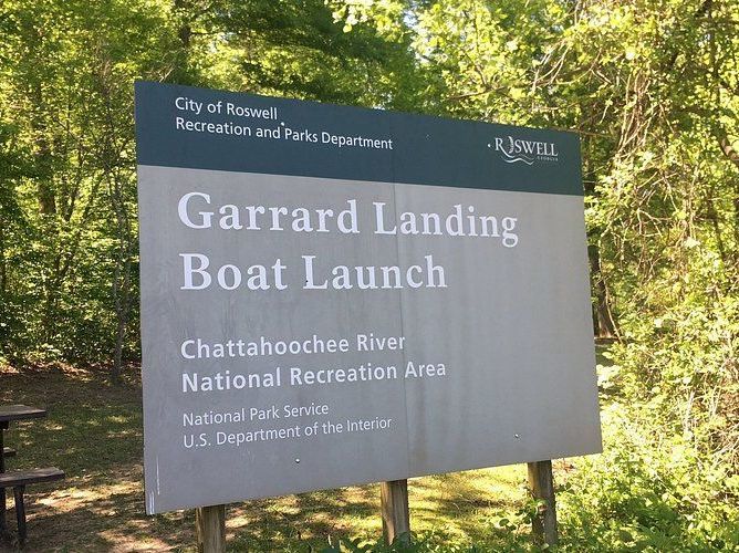
Holcomb bRIDGE
While there is currently no access to this Roswell-based land unit, river access can be found across the river at Garrard Landing, with a boat ramp maintained by the National Park Service.
✔ Parking
✔ Restrooms
✔ Boat ramp (canoe only)
✔ Picnic area
✘ No hiking trails
Island Ford
The Island Ford Unit in Sandy Springs is home to the CRNRA headquarters and visitor center. It boasts 5.31 miles of trails, including riverside paths and forested loops, along with picnic areas and educational exhibits.
✔ Parking
✔ Restrooms
✔ Boat ramp (canoe only)
✔ Picnic area
✔ Hiking trails (5.3 miles)
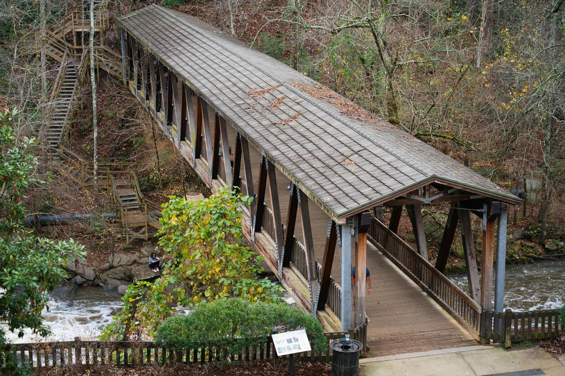
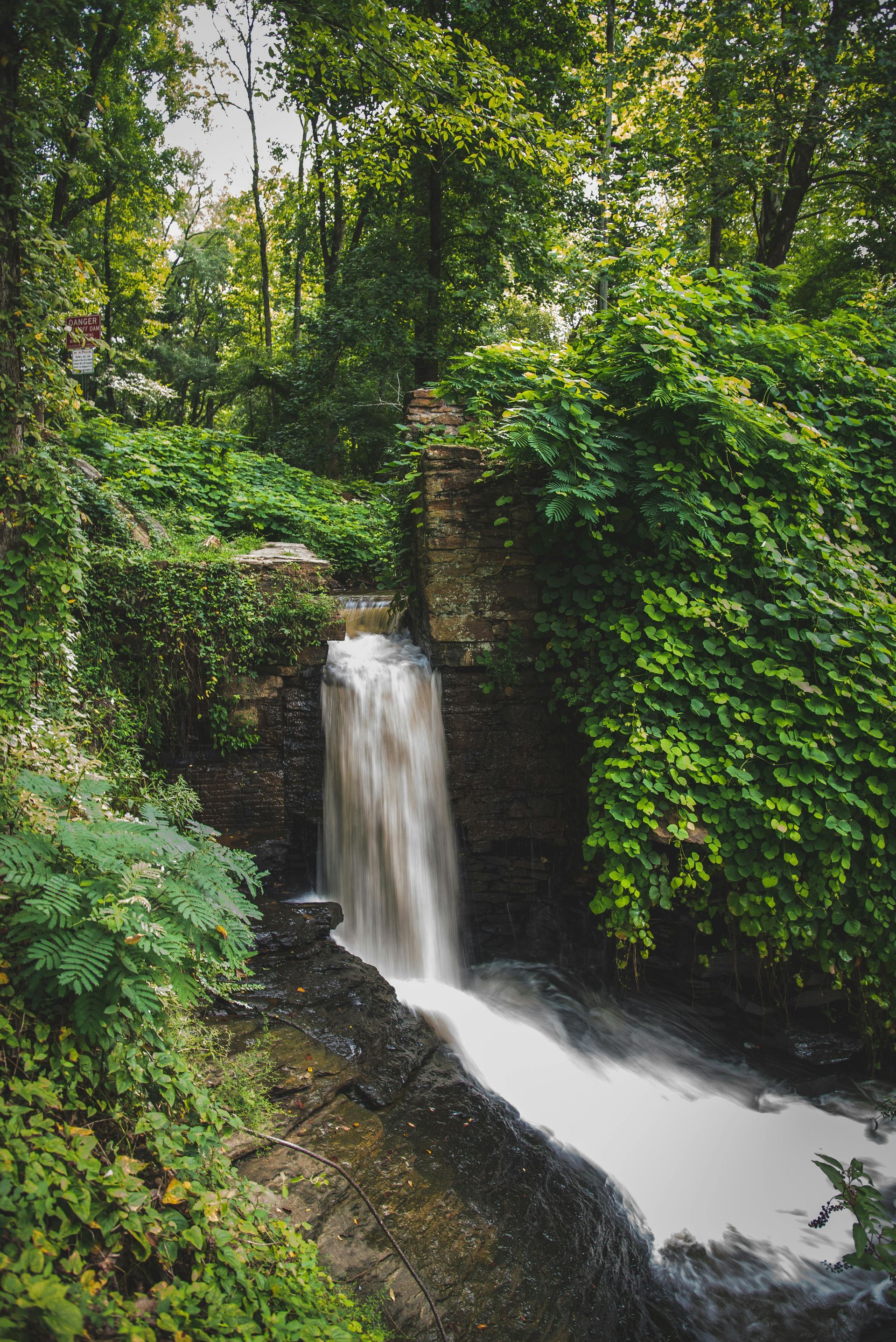
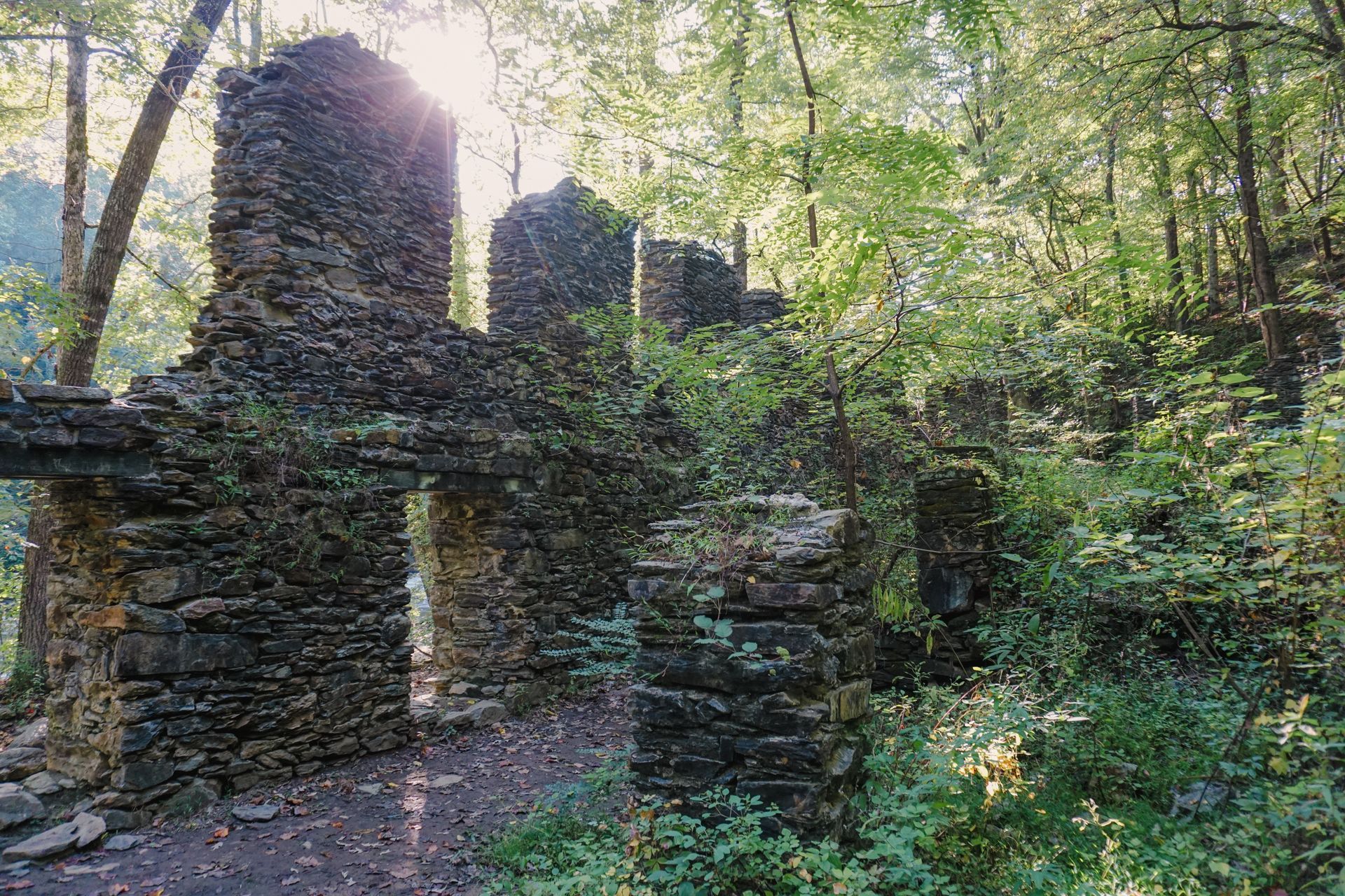
Vickery Creek
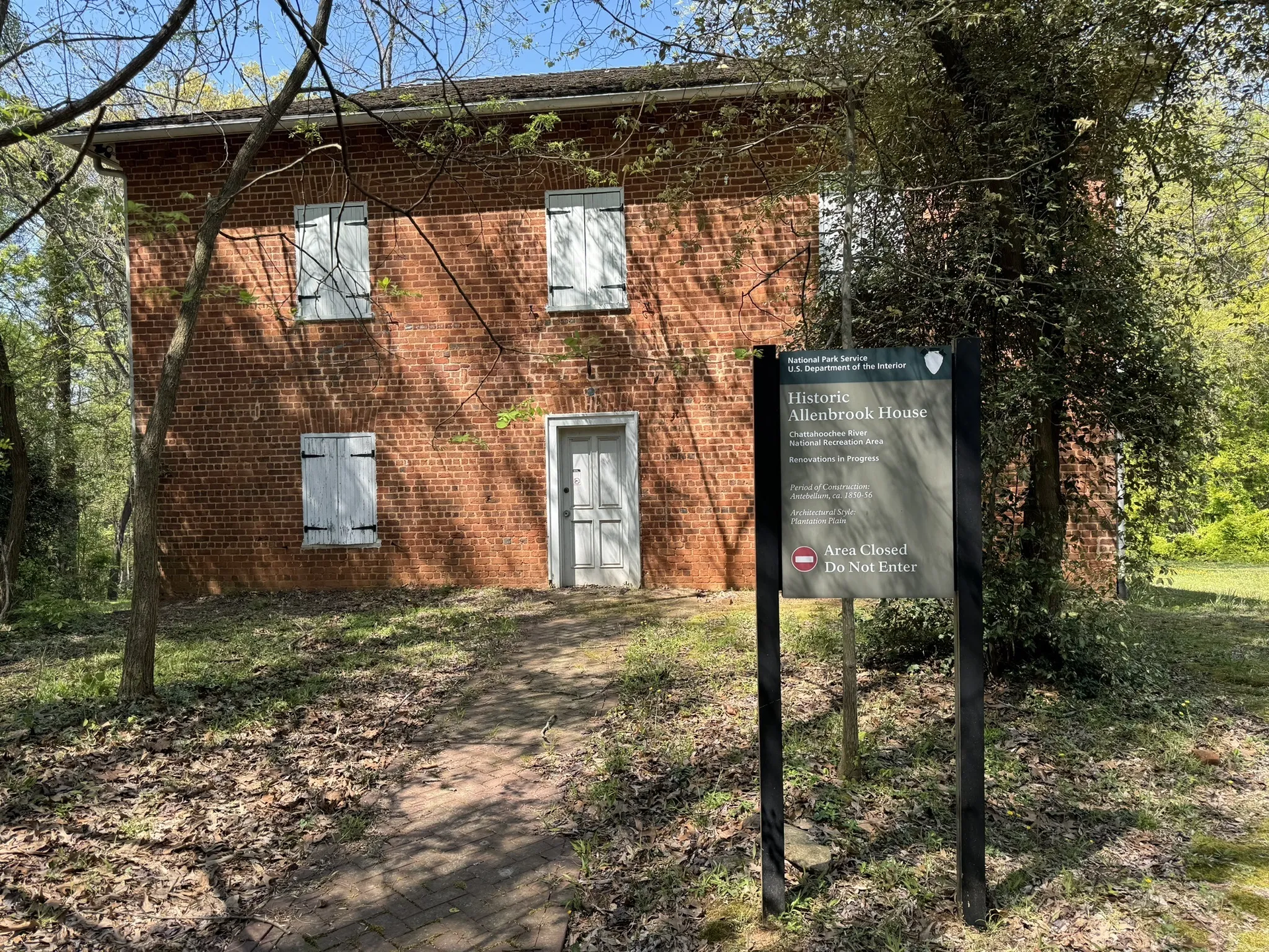
The Vickery Creek Unit in Roswell is famous for its historic Roswell Mill ruins and the picturesque waterfall. Along Vickery Creek, this unit connects to City of Roswell's Old Mill Park via the iconic covered bridge. Across the creek, the Allenbrook Trail features notable landmarks including the Allenbrook House, built in the 1850s, which served as the residence of the Ivy Mill manager.
Vickery Creek
✔ Parking
✔ Restrooms (in Old Mill Park)
✘ No boat ramp
✔ Picnic area
✔ Hiking trails (6.6 miles)
Allenbrook
✔ Parking
✘ No restrooms
✘ No boat ramp
✘ No picnic area
✔ Hiking trails (1 mile)
Gold Branch
Found near Marietta, Gold Branch features a moderate-to-challenging hiking trail offering serene views of the river and excellent opportunities for birdwatching. It is a favorite among hikers looking for a quieter experience.
✔ Parking
✘ No restrooms
✘ No boat ramp
✔ Picnic area
✔ Hiking trails (4.7 miles)
Johnson ferry
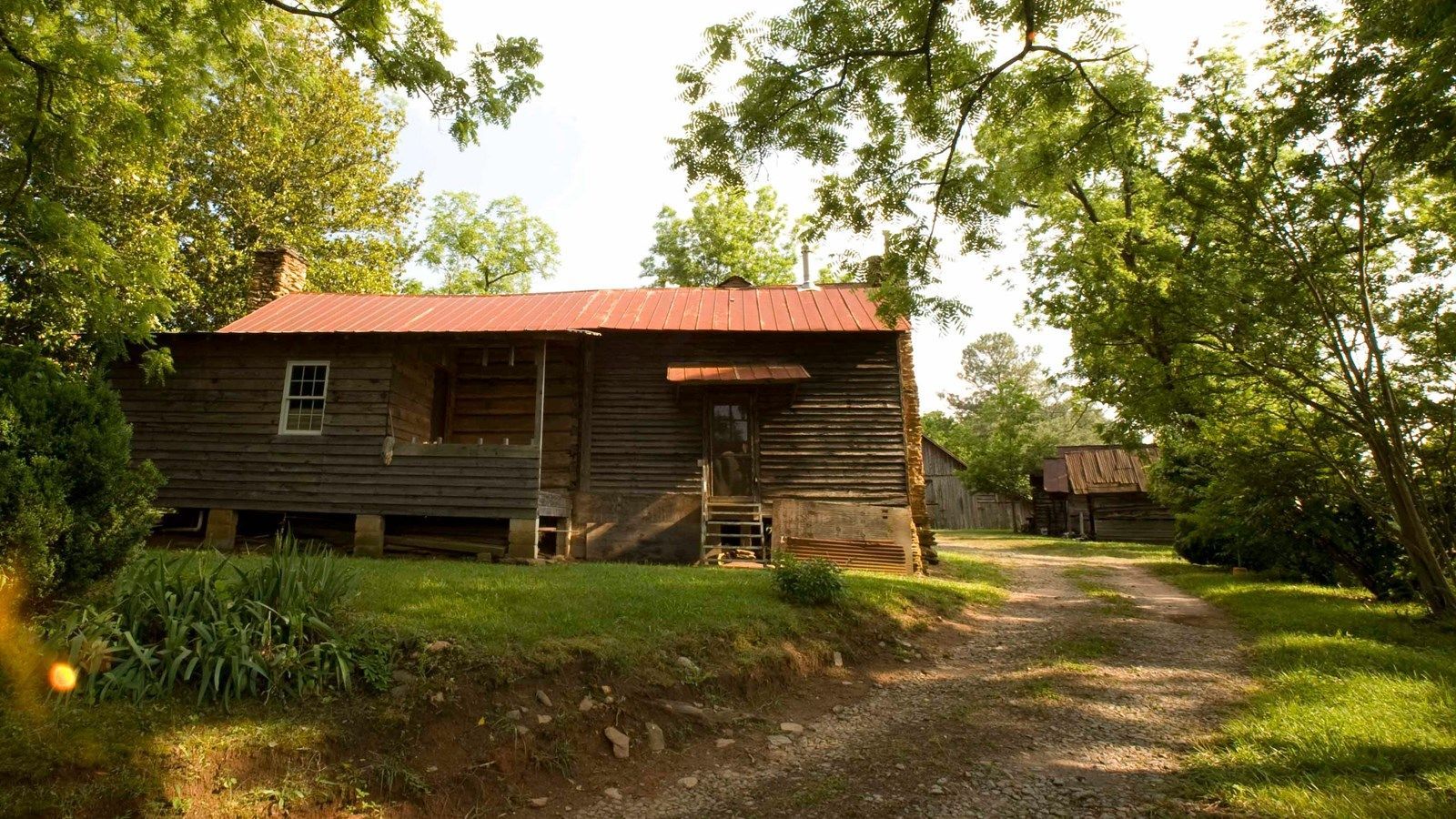
The Johnson Ferry Unit, split into Johnson Ferry North and Johnson Ferry South, is located in Marietta and is the first CRNRA river access point below Morgan Falls Dam. Johnson Ferry North is also the home to historic Hyde Farm!
Johnson Ferry North
✔ Parking
✔ Restrooms
✔ Boat ramp (boat and canoe)
✔ Picnic area
✔ Hiking trails (2.4 miles)
Johnson Ferry South
✔ Parking
✘ No restrooms
✘ No boat ramp
✔ Picnic area
✔ Hiking trails (1 mile)

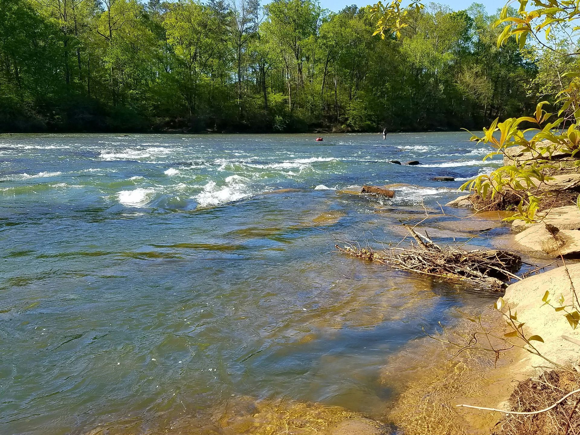
Cochran Shoals
One of the most visited sections of CRNRA, Cochran Shoals near Marietta includes multiple access points including Powers Island, a popular launch point for rafting and kayaking; Sope Creek, with historic mill ruins and trails through wooded areas; and connected Interstate North and Columns Drive, a flat fitness loop favored by runners and cyclists.
Interstate North
✔ Parking
✔ Restrooms
✘ No boat ramp
✔ Picnic area
✔ Hiking trails
(11.4 miles, connects to Columns Drive)
Powers Island
✔ Parking
✔ Restrooms
✔ Boat ramp
(canoe only)
✔ Picnic area
✔ Hiking trails
(1.5 miles)
Columns Drive
✔ Parking
✔ Restrooms
✘ No boat ramp
✔ Picnic area
✔ Hiking trails
(11.4 miles, connects to Interstate North)
Sope Creek
✔ Parking
✘ No restrooms
✘ No boat ramp
✔ Picnic area
✔ Hiking/biking trails (6.6 miles)
Palisades
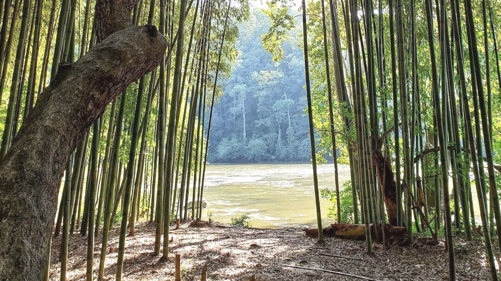
The Palisades Unit, located near Sandy Springs and Vinings, is divided into Palisades East and Palisades West. Palisades East includes sub-units like Whitewater Creek, offering tranquil hiking and paddling opportunities, and Indian Trail, known for its scenic overlooks and bamboo forest. Palisades West includes Paces Mill, a prime spot for boating and picnicking, and Akers Mill, which connects to extensive hiking trails and offers picturesque river views.
PALISADES EAST
Indian Trail
✔ Parking
✘ No restrooms
✘ No boat ramp
✔ Picnic area
Whitewater Creek
✔ Parking
✘ No restrooms
✔ Boat ramp (canoe only)
✔ Picnic area
PALISADES WEST
Akers Mill
✔ Parking
✔ Restrooms
✔ Boat ramp (canoe only)
✔ Picnic area
Paces Mill
✘ Closed to public through Spring 2025
Purchase a Park Pass
A park pass is required for all visitors in all units of CRNRA. 80% of all fees collected help fund critical projects that improve services and protect resources in the park. Daily passes ($5), annual passes ($40), or annual senior passes ($20) are available for purchase online through NPS.